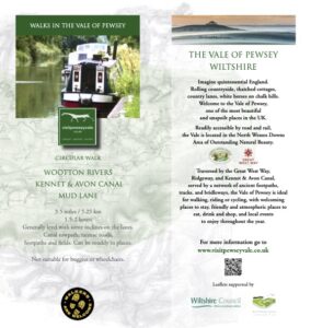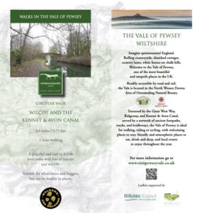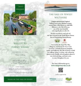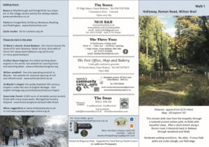
With a network of public rights of way across the Vale of Pewsey, we have plenty of walking routes for you to explore. These are some of our suggestions of our most popular routes.
By clicking on the walk you would like to do, you will see detailed information for that walk, including refreshment stops on or close to the route, as well as the option to download the walking leaflet to your mobile device or to print it off.
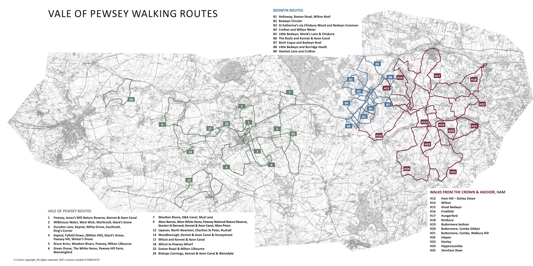
Walks across the Vale of Pewsey Routes
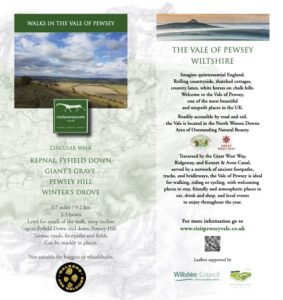
Kepnal, Fyfield Down, Giant’s Grave, Pewsey Hill, Winter’s Drove
Map Reference:
04
Distance:
5.7 miles / 9.2 km
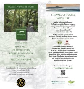
Bruce Arms, Wootton Rivers, Kennet & Avon Canal, Pewsey, Milton Lilbourne
Map Reference:
05
Distance:
8 miles / 13 km
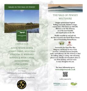
Alton White Horse, Stanton St Bernard, Honeystreet, The Altons
Map Reference:
09
Distance:
6 miles / 9.75 km
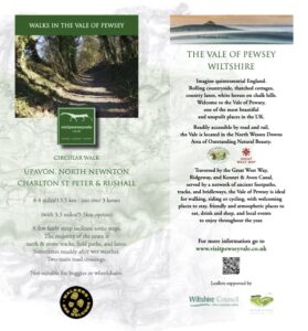
Upavon, North Newnton, Charlton St Peter & Rushall
Map Reference:
12
Distance:
8.4 miles / 13.5 km with 3.5 miles / 5.5 km option
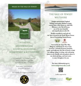
Woodborough, Kennet & Avon Canal, Honeystreet & Bottlesford
Map Reference:
14
Distance:
7.3 miles / 11.7 km or without Woodborough Hill 6.3 miles / 10.1 km
Walks around Bedwyn
Walks from the Crown and Anchor, Ham
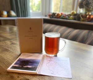
Ham to Buttermere Bottom Circular
Map Reference:
H19
Distance:
7.5 miles / 12 km or 4.6 miles / 7.3 km or 2.6 miles / 4.2 km

Ham to Walbury Hill & Combe Gibbet Circular
Map Reference:
H21
Distance:
9.2 miles / 14.7 km or 10.2 miles / 16.3 km

