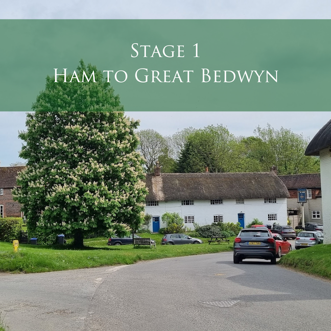
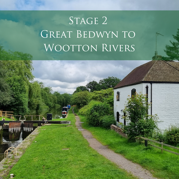
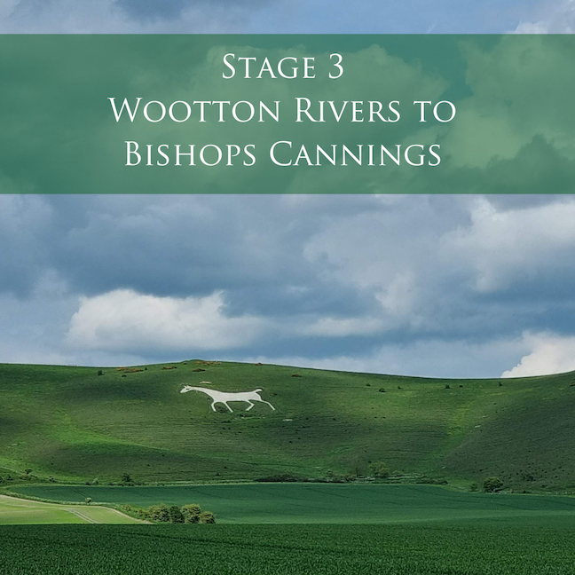
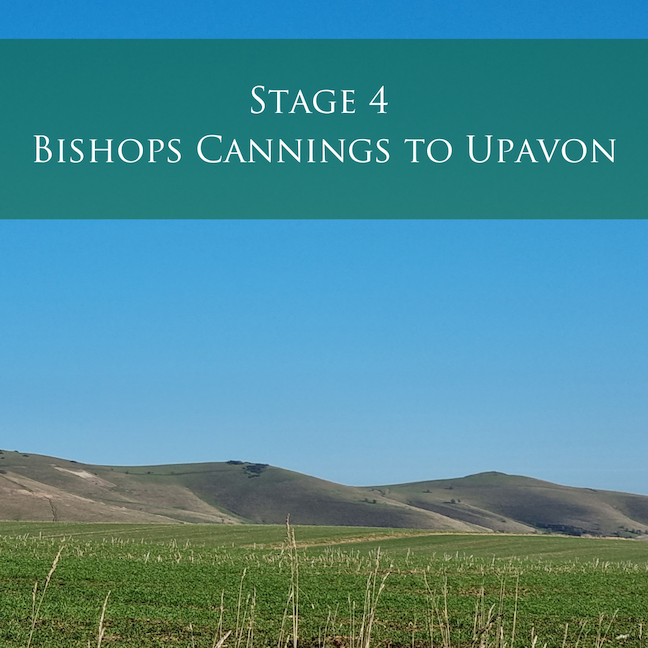
Pewsey Vale Circular Walk
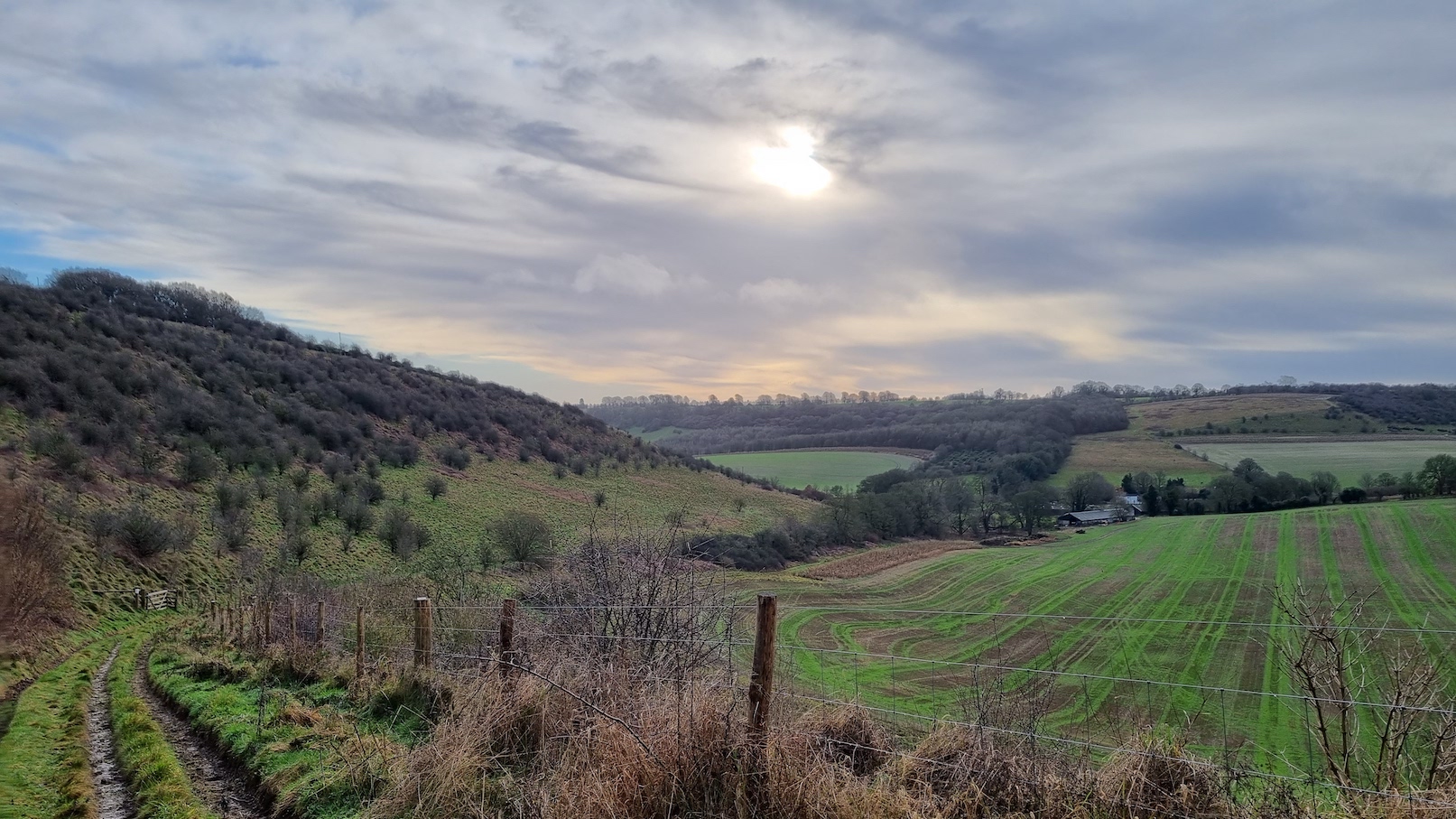
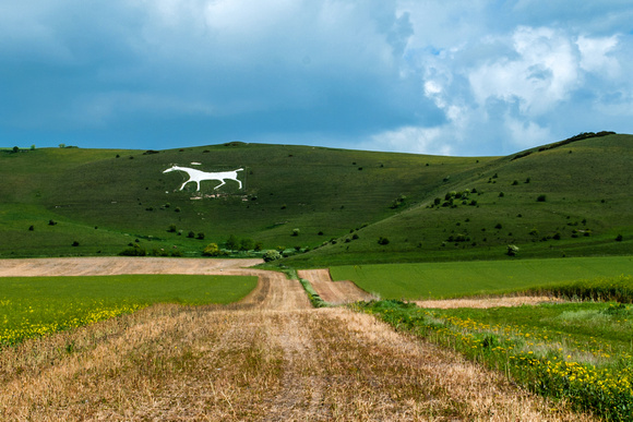
This one-week walking itinerary takes you on our long-distance route – the Pewsey Vale Circular Way – the walking route for which is just over 77 miles and follows rights of way with the Vale of Pewsey at its heart. This route includes dramatic downland with exceptional views, quintessential English villages and country pubs, the tranquility of the Kennet & Avon Canal and the beauty of walking through the Vale, surrounded by stunning downland.
There are two routes – one for walking and the other (the Pewsey Vale Circular Ride) for riding or cycling. The two routes are largely the same but divert at certain points where walkers follow a footpath and riders/cyclists take a bridleway or byway or are sometimes diverted along a country lane.
Places of interest on or close to the route are listed in each stage of the walk.
Be mindful of your own walking pace and when and where you have to meet your pick up at the end of the day.
You can of course take this route at your own pace and stay a bit longer, or pick out selected days if your stay is shorter or modify the start and end point of each section and the direction you walk.

The most common waymarker you will see where the route is for both walkers and riders

The walkers only route where footpaths are used and therefore cyclists and horse riders are not permitted

The rider route where a byway or bridleway is used. Walkers could also use this route if they preferred.

Remember to follow the Countryside Code – find out more here.


Planning your route

Public Transport

Find out about places to eat – perhaps for lunch or in the evening. And have a look at where you can stay – maybe in one location for the week, or at different accommodation providers along the route with your baggage following on.